Oasis Montaj Geosoft
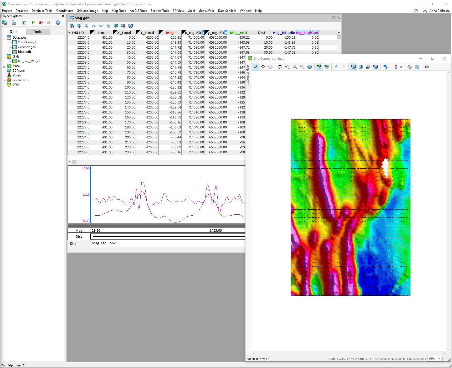
Oasis montaj is an industry-leading geophysical data processing and interpretation platform designed for geoscientists working in mining, environmental, energy, and regional mapping projects. It enables users to efficiently process, visualise, analyse, and model large geoscience datasets in a single integrated environment for faster and more confident exploration decisions.
Advanced Geophysical Processing & Subsurface Interpretation Platform
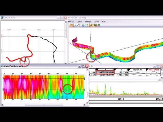
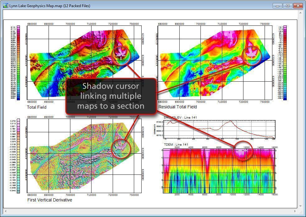
Oasis montaj empowers geophysicists and exploration teams with powerful tools for data integration, mapping, filtering, modelling, and interpretation. From airborne and ground geophysical surveys to geological and GIS datasets, the platform streamlines workflows and improves subsurface understanding through advanced analytics and 2D/3D visualisation capabilities.
- Industry-standard geophysical data processing and interpretation software
- Advanced magnetic, gravity, radiometric, and electromagnetic data analysis
- Integrated 2D and 3D visualisation and modelling tools
- Powerful filtering, gridding, and geostatistical analysis capabilities