Mapping Remote Sensing and GIS
Explore our wide range of innovative products designed to meet the unique needs of various disciplines, industries, and applications. From cutting-edge technology solutions to specialized equipment, Datacode Geosciences is your trusted partner in delivering reliable and efficient tools that empower your operations.
Mapping Remote Sensing and GIS
With flexibility to only use what you need, when you need it – combine one or more of our products for a tailored solution.

Rockworks
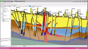
Rockworks provides versatile tools for 2D and 3D geological modeling, making it an essential solution for subsurface exploration and analysis.
Learn More

Global Mapper
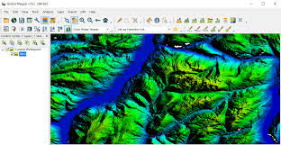
Global Mapper supports a wide variety of spatial data formats, offering essential tools for terrain analysis, GIS mapping, and geospatial data management.
Learn More

Target
Automate routine data processing tasks and streamline workflows to spend less time processing data and more time exploring.
Learn More

Target for ArcGIS
View drillhole data attributes in 2D maps and 3D scenes. Create cross sections to view and interpret your geology in 3D.
Learn More

Imago
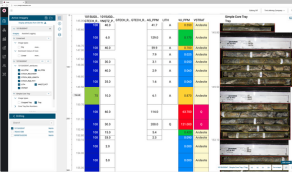
Imago provides powerful tools for managing high-resolution drill core images, enabling geologists to extract valuable insights from visual data.
Learn More

Surfer
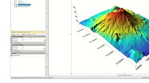
Surfer offers advanced tools for gridding, contouring, and 3D surface mapping, providing geospatial professionals with precise data visualization options.
Learn More